Chicago Mayor Richard Daley proposed a revised version of a crosstown expressway his father, former Mayor Richard J. Daley, first envisioned almost 30 years ago. The mayor's new plan for a Mid-City Transitway would utilize existing rights of way.


"The Crosstown envisioned by the mayor's father, Richard J. Daley, would have run roughly parallel to Cicero Avenue on the city's western edge, providing an interstate truck route that bypassed downtown. It would have linked the Kennedy and Edens Expressways on the Northwest Side with the Stevenson, Midway Airport and the Ryan. But it died because thousands of homes and businesses would have been displaced in order to build it. That's still a problem."
"But traffic is still a problem, too, and getting worse. In 2002, Daley started looking at ways to build a rapid-transit line or a truck bypass along the Crosstown corridor. His Mid-City Transitway would begin near the CTA Blue Line's Jefferson Park station and head south past Midway, turn east along 75th Street and end at the Ryan. It would intersect with the CTA's Orange and Red lines and connect the city's two airports. Options being studied include a CTA-type line, a light rail line, a commuter train service like Metra or a bus rapid-transit line. A trucks-only road could be added if space allowed."
"Unlike his father's plan--or Madigan's--Daley's Mid-City would mostly use existing railroad rights-of-way, avoiding the need to acquire land and uproot residents. Its other advantage is that it involves mass transit, moving more people while causing less pollution. A truck bypass is also a good idea, especially if it could fit on the same footprint."
Thanks to David Kralik
Read the full story: Crosstown back from the dead

Planetizen Federal Action Tracker
A weekly monitor of how Trump’s orders and actions are impacting planners and planning in America.
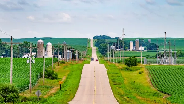
Eastern Nebraska is running out of electricity
Data centers and electrification are straining eastern Nebraska’s grid, throttling economic development.
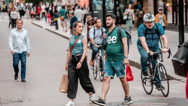
Study reveals best places in the U.S. for cycling, walking
New research from Streetlight Data examines bicycle and pedestrian miles per capita in the 100 largest U.S. cities by population.

DSA members accuse Mamdani of 'abandoning values' over housing redevelopment
New York City's mayor plans to replace about 2,000 units of public housing with private, mixed-income housing.

All sides of BRT debate unhappy with CDOT’s most recent move
The Colorado Department of Transportation is no longer considering center-running bus lanes for Colorado Boulevard.

Massachusetts bogs generate both power, and cranberries
Putting solar panels above farmland is one way Massachusetts is advancing toward its goal of net-zero carbon emissions by 2050.

FREE Course: Walkable City 1: Why Walkability?
After describing his path towards focusing on walkability as the essence of good planning, Jeff Speck marches through his five principal reasons for making more walkable places.
Reinventing Malls: Planning Alchemy—Turning Gray Fields Into Gold
The course focuses on the opportunities and imperatives that shape reinvention of mall sites.

City of Rosemead
Rutgers University, Edward J. Bloustein School of Planning and Public Policy
One Hundred Miles
University of Michigan School for Environment and Sustainability (SEAS)
Hunter College, City University of New York (CUNY)
The Architects Foundation
City of Cambridge
The Pocatello Development Authority
The Urban Renewal Agency of the City of Pocatello