Using 8,000 photos taken from atop the Tokyo Tower, photographer Jeffrey Martin has assembled a 150-gigapixel panorama of the city. The best part - its interactive - meaning you can pan and zoom to an incredible level of detail.


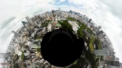
"It took photographer Jeffrey Martin two days of shooting and four months of editing to create the interactive panorama you're about to experience," writes Robert T. Gonzalez. "At 600,000 pixels wide, it would measure 50 meters by 100 meters if printed at photographic resolution. And yes, it is every bit as awesome as it sounds."
"The founder of 360Cities.net, a website where photographers can upload 360-degree images of beautiful locations around the globe, Martin is no stranger to this medium. He's even created an image that's bigger than the one you see here, but this one, he says, is his favorite. It's a composite of more than 8,000 photos, shot over the course of two days from the roof of the Tokyo Tower's lower observatory. "
Read the full story: The largest photo ever taken of Tokyo is zoomable, and it is glorious


Expanding the Concept of Transit-Oriented Development: Lessons from Abroad
Keeping transit planning and development siloed can limit opportunities to build affordable housing and vibrant neighborhoods.
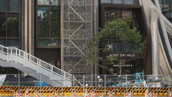
A New Tallest Skyscraper for Japan
The Toranomon-Azabudai reaches 330 meters into the sky, far lower than international standards but taller by 30 meters than the previous tallest building in Japan.
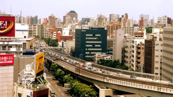
Tokyo Expressway to Become a Linear Park
A major expressway in Ginza will be converted to a park similar to New York City's High Line.

Planetizen Federal Action Tracker
A weekly monitor of how Trump’s orders and actions are impacting planners and planning in America.

California plans to bury El Niño’s downpour
If the state plays its cards right, it may be able to store a billion acre-feet of El Niño’s water in aquifers.

Chicago breaks ground on $3 billion megadevelopment
The new neighborhood, titled Foundry Park, will one day host 3,700 residences.

Want to study the Missouri River? Soon, you may need unanimous approval from 10 states
Legislation would require 10 governors’ permission to study or build projects moving water outside the basin.

Desperate measures: Advocates weigh draining Lake Powell to fill Colorado River
Draining the reservoir could reduce evaporation losses by a couple hundred thousand acre-feet.

This road in NYC is infamously dangerous — and Mamdani can't fix it
New York City's Ocean Parkway is known for reckless driving, but the power to implement safety measures lies with the state rather than the city.

FREE Course: Walkable City 1: Why Walkability?
After describing his path towards focusing on walkability as the essence of good planning, Jeff Speck marches through his five principal reasons for making more walkable places.
Reinventing Malls: Planning Alchemy—Turning Gray Fields Into Gold
The course focuses on the opportunities and imperatives that shape reinvention of mall sites.

City of Rosemead
Rutgers University, Edward J. Bloustein School of Planning and Public Policy
One Hundred Miles
Hunter College, City University of New York (CUNY)
The Architects Foundation
University of Cincinnati Online
City of Cambridge
Montrose County
The Pocatello Development Authority