West Virginia-based SkyTruth is culling satellite and aerial images to blow the whistle on unreported damage to the environment.


"Since 2001, West Virginia-based SkyTruth has been compiling published satellite and aerial images, then tasking computers and citizen volunteers to sort them to uncover potential environmental damage," according to an article by Rob Wile.
SkyTruth's big finds include revealing the true scope of the BP oil spill in 2010 as well as a Canadian mine in 2014 that spewed 1.3 billion gallons of toxic waste into the environment.
Wile goes on to detail SkyTruth's current project—the FrackFinder project, which is "plotting fracking activity across Pennsylvania and Ohio to better allow researchers to pinpoint where fracking is occurring." That effort uses publicly available satellite images from the U.S. Department of Agriculture. Another current project is tracking the disappearance of Louisiana's land mass.
Read the full story: A small group from West Virginia is running the most important whistleblowing shop you’ve never heard of


Los Angeles Reaches $38.2 Million Settlement over Allegations of Defrauding HUD
The City of Los Angeles has settled in a case filed by a whistleblower alleging that it falsely certified homes in its HUD-funded affordable multifamily housing program as accessible by people with disabilities.

Satellite, Launched Into Space Earlier This Month, to Measure Urban Heat Island Effect
A new satellite, currently residing on the International Space Station and scheduled for deployment in January, will measure and map the urban heat island effect of seven U.S. cities.

View the Smoke from the California Fires From Satellite
The National Oceanic and Atmospheric Administration has been making the most of its celestial perch to illustrate the scale of the fires currently burning in Southern California.

Planetizen Federal Action Tracker
A weekly monitor of how Trump’s orders and actions are impacting planners and planning in America.

Amtrak, CN end decades-long dispute with eight-year agreement
The new operating agreement establishes an updated framework for the companies to work together, including processes to resolve disputes.
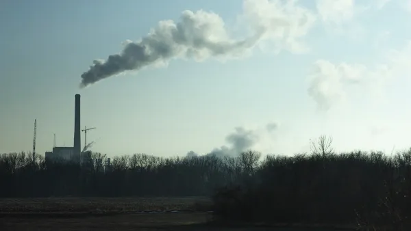
Nation's most wind-powered state turns to coal as data centers increase energy demand
For the first time in decades, Iowa has increased its generation of coal power.

Alabama scores up to $2.5 billion federal loan for largest infrastructure project in state’s history
The Mobile River Bridge and Bayway Project aims to ease congestion at Alabama’s worst bottleneck.

Trump is considering data centers on 6 states' public land — some state officials say they had no idea
If the administration approves the proposed projects, data center and data center-related developments will cover 17,600 acres of public land.

Despite court ruling, Trump is keeping nearly all wind projects in the US on hold
At least 110 wind energy projects have not heard from the government since a federal judge ruled that the Trump administration's freeze on wind turbine clearances was likely illegal.

FREE Course: Walkable City 1: Why Walkability?
After describing his path towards focusing on walkability as the essence of good planning, Jeff Speck marches through his five principal reasons for making more walkable places.
Reinventing Malls: Planning Alchemy—Turning Gray Fields Into Gold
The course focuses on the opportunities and imperatives that shape reinvention of mall sites.

KFH Group Inc.
Greater Baltimore Committee
Eagle County Government
The Architects Foundation
University of Cincinnati Online
The Pocatello Development Authority
The Urban Renewal Agency of the City of Pocatello