As I began to type this, I was on a Greyhound bus somewhere in southern Ontario, on the first leg of my return from Toronto (where I have spent the past year getting an extra degree) to the United States. As I type, it occurs to me to ask myself: what are the interests of the long-distance bus rider? Are they the same as users of other forms of public transit, or closer to those of drivers and truckers? My short answer to these questions is: a little of both.



As
I began to type this, I was on a Greyhound bus somewhere in southern Ontario,
on the first leg of my return from Toronto (where I have spent the past
year getting an extra
degree) to the United States.
As I type, it occurs to me to ask
myself: what are the interests of the long-distance bus rider? Are
they the same as users of other forms of
public transit, or closer to those of drivers and truckers? My short
answer to these questions is: a little of both.
First
of all, a bus rider needs good roads: smooth roads that enable him/her
to read
or type without being jolted by stomach-churning bumps. In
this respect, a bus rider is like a
motorist: motorists also value good roads rather than pothole-filled
obstacle
courses.
And certainly a bus
rider places some value on lack of
congestion, though probably less than a motorist. In a bus, I don't
expect a
total free flow of traffic, but I do mind congestion sufficiently severe
to
create enormous delays. Although all bus riders
value on-time performance, I think this is probably somewhat more true
for
long-distance bus riders than for riders of municipal buses, since the
former
group is more likely to be stuck on interstate highways where there is
no escape
from congestion. (By contrast, if a bus on a downtown street is moving
too
slowly for your taste, you might be able to get off the bus and start walking to
your
destination).*
But in other respects, long-distance
bus riders and municipal bus riders are like pedestrians and users of
rail
transit. For example, even intercity bus riders value public transit, so that once
they
get in their destination city they can reach a wide variety of destinations within the city.
And ideally, the bus station should be in a walkable area well served by public transit. When I ride a long-distance
bus, I want my bus station to be in a busy neighbourhood where I can
walk to
something interesting if I have some spare time. For
example, Toronto's bus station is quite centrally
located, which means I can walk to an enormous variety of destinations.
But in other cities, this is not the case. For example, I was recently
on a bus that stopped at the South Bend, Indiana, airport, which
appeared to be near absolutely nothing. (After checking walkscore.com, I
found that its Walkscore was 11). When I visited Chattanooga some years ago, I noticed that its bus station (also near the airport) is a few blocks away from not only the nearest city bus, but even the nearest sidewalk.
Other bus stations are in truly
scary neighborhoods; St. Louis's bus station appeared to be in one of
the city's large stock of deserted areas. In my experience, this is a
"smart growth vs. sprawl" issue: the most transit and
pedestrian-oriented cities tend to have bus stations closer to downtown,
while declining or sprawling cities tend to have bus stations in less
impressive places. **
*Depending
on how
able-bodied you are, the degree of hurry you are in, and numerous other
variables.
**However, there are plenty of exceptions to this
generalization. For example, Jacksonville's bus station is pretty close to the heart of downtown.
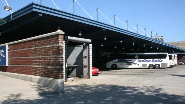
Chicago approves city buyout of downtown Greyhound station
The city is also budgeting $30 million for repairs to the city's only intercity bus station.
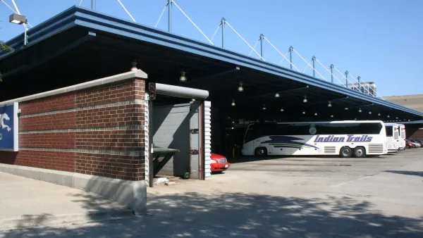
Chicago Considers Buying its Greyhound Station to Save it From Redevelopment
The intercity bus terminal is a 15-minute walk from Chicago’s Union Station, served by Amtrak, and five minutes from a CTA Blue Line station.
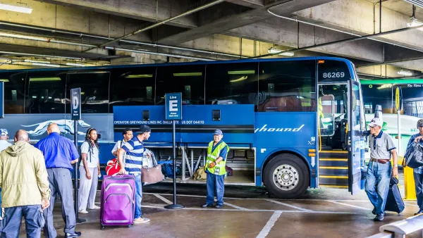
Greyhound Says the ‘Great American Road Trip’ is Best Done by Bus
Hitting back on Sec. Duffy’s call for Americans to “get in the car,” Greyhound launched a guide to using buses to access America 250 celebrations.
Planetizen Federal Action Tracker
A weekly monitor of how Trump’s orders and actions are impacting planners and planning in America.
Eastern Nebraska is running out of electricity
Data centers and electrification are straining eastern Nebraska’s grid, throttling economic development.
Study reveals best places in the U.S. for cycling, walking
New research from Streetlight Data examines bicycle and pedestrian miles per capita in the 100 largest U.S. cities by population.

Next-generation nuclear reactors are coming to Texas
The reactors will not require towering containment structures thanks to new safety features.

California distributes $1.3 billion to prevent transit service cuts, bolster projects
Twenty-eight projects across California received a portion of the funding.

Pennsylvania Democrats have 15 affordability, clean energy bills for flipped state Senate
Bills in consideration include a bill supporting geothermal energy and a bill supporting solar on warehouses.

FREE Course: Walkable City 1: Why Walkability?
After describing his path towards focusing on walkability as the essence of good planning, Jeff Speck marches through his five principal reasons for making more walkable places.
Reinventing Malls: Planning Alchemy—Turning Gray Fields Into Gold
The course focuses on the opportunities and imperatives that shape reinvention of mall sites.

City of Charlotte
City of Rosemead
Rutgers University, Edward J. Bloustein School of Planning and Public Policy
University of Michigan School for Environment and Sustainability (SEAS)
Hunter College, City University of New York (CUNY)
The Architects Foundation
City of Cambridge
The Pocatello Development Authority
The Urban Renewal Agency of the City of Pocatello

