A new study shows that supermarkets have migrated away from Canada's central and poorer neighborhoods, turning them into 'food deserts' with minimal access to more expensive food.


"The migration of supermarkets to the suburbs has left some Canadian cities with 'food deserts' in their most vulnerable neighbourhoods, according to new research that counters previous studies suggesting that phenomenon wasn't happening in this country.
Residents marooned in these grocery wastelands -- usually those who can least afford it -- have no easy access to stores that stock fresh, affordable food, researchers say, forcing them to pay convenience store prices or eat junk food.
It wasn't always that way.
'We found the location of all grocery stores in 1961 and discovered that the central neighbourhoods and poorer neighbourhoods had incredibly good access to supermarkets,' says Jason Gilliland, a geography professor at the University of Western Ontario who used London as his living lab.
'Over the last 40 years or so, grocers have really left the core for the suburbs. It's another side-effect of suburbanization.'
Gilliland and his co-author, Kristian Larsen, used computerized mapping to plot the location of London's supermarkets in 1961 and 2005. Then, using census data, city maps and bus schedules, they calculated each neighbourhood's access to grocery stores using real-life criteria such as a 1,000-metre walk (10 to 15 minutes) or a 10-minute bus ride with a short walk on each end.
Not only is access in many areas worse now, they found, but the poorest neighbourhoods are the most stranded."
Read the full story: Cities 'food deserts'
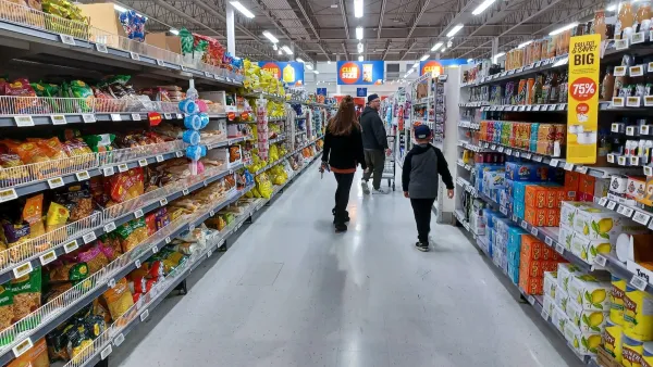
Making economic sense of city-owned grocery stores
Several cities are moving to create municipal stores, but do they actually save low-income households money?
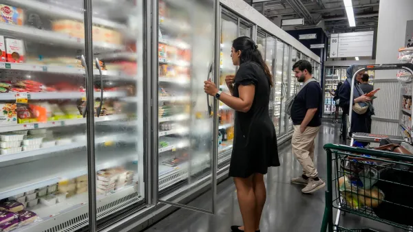
NYC's first city-run grocery store coming to the South Bronx
City-owned grocery stores were one of Mayor Mamdani's campaign promises.
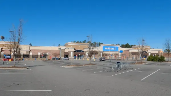
How Smaller Supermarkets Could Transform American Communities
Bigger is not always better.

Planetizen Federal Action Tracker
A weekly monitor of how Trump’s orders and actions are impacting planners and planning in America.

Eastern Nebraska is running out of electricity
Data centers and electrification are straining eastern Nebraska’s grid, throttling economic development.

Study reveals best places in the U.S. for cycling, walking
New research from Streetlight Data examines bicycle and pedestrian miles per capita in the 100 largest U.S. cities by population.

DSA members accuse Mamdani of 'abandoning values' over housing redevelopment
New York City's mayor plans to replace about 2,000 units of public housing with private, mixed-income housing.

All sides of BRT debate unhappy with CDOT’s most recent move
The Colorado Department of Transportation is no longer considering center-running bus lanes for Colorado Boulevard.

Massachusetts bogs generate both power, and cranberries
Putting solar panels above farmland is one way Massachusetts is advancing toward its goal of net-zero carbon emissions by 2050.

FREE Course: Walkable City 1: Why Walkability?
After describing his path towards focusing on walkability as the essence of good planning, Jeff Speck marches through his five principal reasons for making more walkable places.
Reinventing Malls: Planning Alchemy—Turning Gray Fields Into Gold
The course focuses on the opportunities and imperatives that shape reinvention of mall sites.

City of Rosemead
Rutgers University, Edward J. Bloustein School of Planning and Public Policy
One Hundred Miles
University of Michigan School for Environment and Sustainability (SEAS)
Hunter College, City University of New York (CUNY)
The Architects Foundation
City of Cambridge
The Pocatello Development Authority
The Urban Renewal Agency of the City of Pocatello