


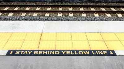
Google Doodle Commemorates Those Bumps on the Edge of the Transit Platform
Today's Google Doodle celebrates an important component of accessibility and mobility for the visually impaired.
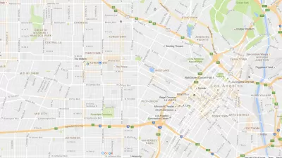
Google Maps Update Opens New Access to Mobility and Culture
Google Maps and other navigation and mapping apps have done a lot to inspire and educate people to make the most of their surroundings. New changes to the Google Maps app will add new functionality for those purposes.
Friday Eye Candy: First-Ever Vertical Street View Scales El Capitan in Yosemite
Google Street View climbed 3,000 feet, straight up, to capture the images for its first-ever vertical street view.
Google Maps Adds Walking Directions
Google announces walking directions feature for Google Maps.
City of Costa Mesa
Licking County
Barrett Planning Group LLC
HUD's Office of Policy Development and Research
Mpact Transit + Community
HUD's Office of Policy Development and Research
Tufts University, Department of Urban and Environmental Policy & Planning
City of Universal City TX
ULI Northwest Arkansas
Urban Design for Planners 1: Software Tools
This six-course series explores essential urban design concepts using open source software and equips planners with the tools they need to participate fully in the urban design process.
Planning for Universal Design
Learn the tools for implementing Universal Design in planning regulations.


