


USGS
Congress Asks that USGS Nominee 'Protect the Scientists'
After recent resignations, there's a new part of the job description: "maintain a sort of firewall between their scientific work and any political agendas."
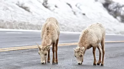
The 'Wide-Ranging Ecological Downside' of Road Salt
A study from the USGS using five decades of data shows salinity and alkalinity are up in waterways across the United States.
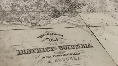
USGS Map Archive Now Easily Accessible
The U.S. Geological Survey has introduced topoView, an intuitive map-based tool making it far simpler to search and access its archive of 178,000 topographical maps dating from 1880 to 2010.
Friday Eye Candy: USGS Launches Historical Topographic Map Explorer
A new tool, released in partnership with the U.S. Geological Survey and Esri, provides easy access to historical maps from all over the country, featuring a timeline to easily select maps from different eras.
L.A. Developing Big Plans to Prepare for the "Big One"
Nearing the 20th anniversary of the last large earthquake to strike the L.A. region, Mayor Eric Garcetti announced a year-long effort to identify ways to protect the city's vulnerable buildings and critical infrastructure from the next rumbler.
Oil's Voodoo Economics: Reserves Grow As They're Depleted
Contrary to what would seem logical, estimates of oil and natural gas reserves may increase as they are depleted, as the new USGS assessment of recoverable oil reserves in the greater Bakken Basin shows. How does this square with peak oil theory?
Our Changing Landscapes, as Seen From Orbit
Earlier this week we brought you stunning images of global urban growth as captured by Landsat, NASA's longest running satellite imagery program. These images capture the dramatic changes to some of America's natural landscapes.
New Report Ties Fracking to Rise in Earthquakes
Joe Romm reports on a new U.S. Geological Survey (USGS) paper that ties the unprecedented rise in earthquakes of magnitude 3.0 and greater across a broad swath of the country to man-made sources.
City of Costa Mesa
Licking County
Barrett Planning Group LLC
HUD's Office of Policy Development and Research
Mpact Transit + Community
HUD's Office of Policy Development and Research
Tufts University, Department of Urban and Environmental Policy & Planning
City of Universal City TX
ULI Northwest Arkansas
Urban Design for Planners 1: Software Tools
This six-course series explores essential urban design concepts using open source software and equips planners with the tools they need to participate fully in the urban design process.
Planning for Universal Design
Learn the tools for implementing Universal Design in planning regulations.


