


Transportation officials in San Francisco are planning to restrict vehicle access on 12 streets around the city to make more room for pedestrians and people on bikes.
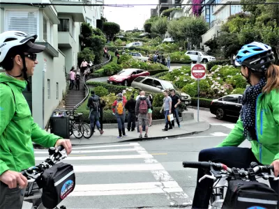
The San Francisco Municipal Transportation Agency (SFMTA) will implement a new "Slow Streets" program, announcing 12 candidate streets for phase 1 of the program today.
"With Muni service temporarily reduced during the COVID-19 health crisis, many San Francisco residents need to walk and take other modes of transportation to make essential trips," according to a Tuesday press release from the SFMTA. "However, sometimes it is difficult to maintain 6’ of social distance on many sidewalks, park paths, and bikeways. This can be especially true when passing lines outside grocery stores and other essential services. Because of this, many pedestrians are choosing to walk in the street, exposing themselves to swiftly moving vehicle traffic."
As noted in the press release, cars aren't actually banned from slow streets. Local vehicle access is permitted, and the legal details of the right of way don't actually change. San Francisco is following in the footsteps of its neighbor in the East Bay, which announced a similar program earlier this month. Since Oakland approved its Slow Streets program, the New York City Council announced legislation that would, if approved, close 75 miles of streets across that city to normal vehicle traffic flows.
FULL STORY: Slow Streets Program to Help With Social Distancing
How Oakland Is Fixing its Pandemic Planning Equity Problem
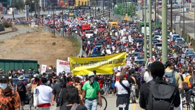
The Oakland Slow Streets program, one of the most controversial developments of the early pandemic, has evolved to become the Essential Places initiative, thanks to new planning practices and a commitment to equity in Oakland, California.

Pandemic Planning Must Reconcile With the Inequities of the Past
The ongoing debate about the role of marginalized communities in the emergency planning programs of the pandemic has now been detailed on the pages of the New York Times.
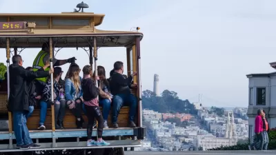
Post-Pandemic Transit Plan Announced in San Francisco
The recently announced post-COVID plan for public transit in San Francisco looks a lot different than the pre-COVID days.

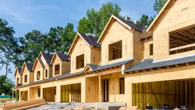
Pennsylvania Mall Conversion Bill Passes House
If passed, the bill would promote the adaptive reuse of defunct commercial buildings.

Planning for Accessibility: Proximity is More Important than Mobility
Accessibility-based planning minimizes the distance that people must travel to reach desired services and activities. Measured this way, increased density can provide more total benefits than increased speeds.
Fair Housing Cannot Take a Back Seat to ‘Build, Baby, Build’
If we overlook fair housing principles in the plan to build US housing back better, we risk ending up right back where we started.

LA Metro Board Approves New 710 Freeway Plan
The newest plan for the 710 corridor claims it will not displace any residents.

Austin’s Proposed EV Charging Rules Regulate Station Locations, Size
City planners say the new rules would ensure an efficient distribution of charging infrastructure across the city and prevent an overconcentration in residential areas.

Making California State Parks More Climate-Resilient
A recently released report offers recommendations for keeping state parks healthy and robust, including acquiring additional land for conservation and recreation.
City of Costa Mesa
Licking County
Barrett Planning Group LLC
HUD's Office of Policy Development and Research
Mpact Transit + Community
HUD's Office of Policy Development and Research
Tufts University, Department of Urban and Environmental Policy & Planning
City of Universal City TX
ULI Northwest Arkansas
Urban Design for Planners 1: Software Tools
This six-course series explores essential urban design concepts using open source software and equips planners with the tools they need to participate fully in the urban design process.
Planning for Universal Design
Learn the tools for implementing Universal Design in planning regulations.