


Technology

Ford Introduces Dooring Prevention Feature
The company’s 2024 Mustang models will include an Exit Warning to prevent drivers from hitting cyclists when opening their doors.

Planning Year in Review 2023: Zoning Reform, a Rail Revolution, and Climate Realities
Last year’s most talked-about planning issues and news.

How Autonomous Should Cities Be?
AI could automate many urban systems, but that may not mean it’s a good idea.

New EV Credit Rules: What You Need to Know
Just 13 electric car models are now eligible for federal tax credits.

How Did the US Fare on its 2023 Climate Goals?
Climate experts are divided on how much progress the nation made.

Seattle to Host 2024 Urban Parks Conference
In June 2024, City Parks Alliance, in partnership with Seattle Parks and Recreation, will hold the Greater & Greener conference, which will include a mix of indoor sessions and outdoor experiences focusing on urban parks.

The Rise and Fall of Cruise
The autonomous car company’s precipitous downfall offers lessons for other carmakers.

Study: Tesla Drivers Have Higher Crash Rates
Insurance data shows a higher rate of crashes and the second highest rate of ‘incidents’ such as DUI citations.

Report: ChatGPT Shows Limited Knowledge in Sparsely Populated Areas
Recent research showed bias when using the tool to assess environmental justice issues in various parts of the country.

NHTSA Calls for Drunk Driving Detection Tech
The agency says it will explore various options for testing impairment behind the wheel.
Mixed-Use TOD Planned in Jacksonville
The project will include affordable housing and retail space near the Rosa Parks transit station.

AI-Powered Permitting is Speeding up Solar Deployments in California
AI-powered permitting is accelerating solar deployments in cities across California, automating compliance checks and approvals for efficient and rapid solar project installations.

Planetizen’s Top Posts of 2023
The most-read articles on Planetizen in 2023.
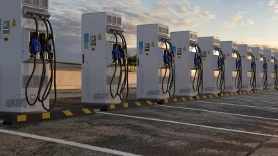
National EV Charging Effort Kicks Off
The first charging station funded by the federal infrastructure law just began operating in Ohio.

How Smart Cities Influence Real Estate Investment
By integrating technology and infrastructure, smart cities are attracting investors with their potential for improved quality of life, efficient resource management, and innovative urban development projects.

Virginia Coalition Calls for Increased Data Center Industry Oversight
Environmental groups voice concern that the states large, and growing, number of data centers is putting unsustainable pressure on natural resources and utility infrastructure.

Commentary: How AI Can Build Safer Cities
From predictive policing to smart surveillance systems, AI-powered technologies are driving the creation of safer cities by enabling proactive crime prevention and efficient emergency response.

Autonomous Cars Putting Strain on Local Governments
As the industry pushes ahead in fits and starts, local officials and first responders are scrambling to develop protocols for handling driverless vehicles.

How Strava Metro Data Inform Planning and Decision-Making
Strava just announced the ten-year anniversary of Metro, a proprietary web platform that provides data insights to partner organizations to make active transportation better for cyclists and pedestrians.
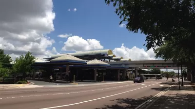
Atlanta Launches Regional Transit App
The app streamlines transit information from the region’s sometimes disjointed public transit system, which covers 13 counties.
City of Costa Mesa
Licking County
Barrett Planning Group LLC
HUD's Office of Policy Development and Research
Mpact Transit + Community
HUD's Office of Policy Development and Research
Tufts University, Department of Urban and Environmental Policy & Planning
City of Universal City TX
ULI Northwest Arkansas
Urban Design for Planners 1: Software Tools
This six-course series explores essential urban design concepts using open source software and equips planners with the tools they need to participate fully in the urban design process.
Planning for Universal Design
Learn the tools for implementing Universal Design in planning regulations.


