


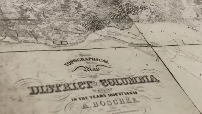
Historical Maps
USGS Map Archive Now Easily Accessible
The U.S. Geological Survey has introduced topoView, an intuitive map-based tool making it far simpler to search and access its archive of 178,000 topographical maps dating from 1880 to 2010.
Massive Historical Map Collection Added to Digital Library
A private collection of 38,000 historical maps has been added to the Digital Public Library of America, reports Rebecca Rosen, making it more accessible to researchers and anyone interested in the history of their community.
City of Costa Mesa
Licking County
Barrett Planning Group LLC
HUD's Office of Policy Development and Research
Mpact Transit + Community
HUD's Office of Policy Development and Research
Tufts University, Department of Urban and Environmental Policy & Planning
City of Universal City TX
ULI Northwest Arkansas
Urban Design for Planners 1: Software Tools
This six-course series explores essential urban design concepts using open source software and equips planners with the tools they need to participate fully in the urban design process.
Planning for Universal Design
Learn the tools for implementing Universal Design in planning regulations.


