


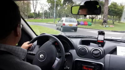
Uber is offering a peak at its data in the hopes of contributing to a more informed transportation planning process.

Linda Poon reports: "in what seems like a move calculated to mend ties, Uber has opened up that cherished trove of info to city planners, researchers, and (eventually) the public."
Uber calls its new data sharing Movement, and touts its anonymized database of over two billion trips. The goal of Movement, according to its web portal: "to help improve urban planning around the world."
"The tool, which is currently available in Boston, Manila, Sydney, and Washington, D.C., tracks how long it takes to get from one point to another, and how that changes depending on the time of the day, day of the week, and factors like road shutdowns or city-wide events," explains Poon.
Poon also relates the experience of a demonstration of Movements power, as applied in the case study of the March 2016 shutdown of the Metrorail system in the Washington, D.C. region.
FULL STORY: Finally, Uber Releases Data to Help Cities With Transit Planning
Uber Releases Trip Data in Select Cities
Uber Movement makes publicly available data for two billion trips taken on the transportation network company. Uber says the data should benefit urban planners.
Ride-Hail Drivers Strike Today. Will Riders Boycott?
Uber is expected to be valued at $91 billion for an Initial Public Offering this spring. Initial investors will get rich. Drivers won't get much.

Uber and Lyft Reveal Seattle-Area Trip Data
After a court battle, the two big transportation network companies finally released trip data, revealing rapid growth and a concentration of rides in the city's most congested areas.

Pennsylvania Mall Conversion Bill Passes House
If passed, the bill would promote the adaptive reuse of defunct commercial buildings.

World's Largest Wildlife Overpass In the Works in Los Angeles County
Caltrans will soon close half of the 101 Freeway in order to continue construction of the Wallis Annenberg Wildlife Crossing near Agoura Hills in Los Angeles County.

U.S. Supreme Court: California's Impact Fees May Violate Takings Clause
A California property owner took El Dorado County to state court after paying a traffic impact fee he felt was exorbitant. He lost in trial court, appellate court, and the California Supreme Court denied review. Then the U.S. Supreme Court acted.

Indy Bikeshare System Turns 10, Expands to E-Bikes
Pacers Bikeshare riders logged over 700,000 rides since the system launched in 2014.

Coming Soon to Ohio: The Largest Agrivoltaic Farm in the US
The ambitious 6,000-acre project will combine an 800-watt solar farm with crop and livestock production.

New York’s Deadliest Neighborhoods for Pedestrians
Pedestrian deaths rose last year, but remain below pre-2020 levels.
City of Costa Mesa
Licking County
Barrett Planning Group LLC
HUD's Office of Policy Development and Research
Mpact Transit + Community
HUD's Office of Policy Development and Research
Tufts University, Department of Urban and Environmental Policy & Planning
City of Universal City TX
ULI Northwest Arkansas
Urban Design for Planners 1: Software Tools
This six-course series explores essential urban design concepts using open source software and equips planners with the tools they need to participate fully in the urban design process.
Planning for Universal Design
Learn the tools for implementing Universal Design in planning regulations.