


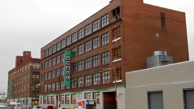
A photo of a "backwards" buffered bike lane in Cleveland prompts commentary from the planning community. What is gained by separating bike lane and curb?

Cleveland is experimenting with an interesting design for bike lanes, one where a marked buffer lies not between bikes and vehicles, but between bikes and curb. Please see the article for a photo of the actual situation in Cleveland. It differs a lot from the usual buffered lane. From the article by Michael Andersen: "If you've got at least two feet of roadway to spare, you lay down some hash marks between car and bike lanes and double the comfort of biking on a street."
Nathan Wilkes of the Austin transportation department remarked, "The only use I have seen as shown in the photo is if there were parked cars to the right of the bicycle lane where there was more concern about the door zone than the moving traffic. In short it looks to be a waste of buffer material applied incorrectly."
Cleveland engineers argued that their design reduces the chance of cars turning right in front of bikes. Other reasons for the curious design might include using the wind from passing trucks to clear debris, or to make plowing snow easier.
FULL STORY: ‘Seems to be in the wrong place’: Peers react to Cleveland’s unusual bike lane

Chicago Had a Banner Year for Bike Infrastructure
The city built more bike lane miles in 2023 than in any previous year.

New Mexico Could Require Protected Bike Lanes With Road Projects
A proposed bill would require larger towns to add protected bike lanes to any new road improvements and direct state funding to applicable projects.
Why a Complete Streets Makeover Went Awry in Philadelphia
The city pulled the plug on a proposed street redesign after community groups criticized the public engagement process for not listening to all local voices.

Pennsylvania Mall Conversion Bill Passes House
If passed, the bill would promote the adaptive reuse of defunct commercial buildings.

Planning for Accessibility: Proximity is More Important than Mobility
Accessibility-based planning minimizes the distance that people must travel to reach desired services and activities. Measured this way, increased density can provide more total benefits than increased speeds.

World's Largest Wildlife Overpass In the Works in Los Angeles County
Caltrans will soon close half of the 101 Freeway in order to continue construction of the Wallis Annenberg Wildlife Crossing near Agoura Hills in Los Angeles County.

Eviction Looms for Low-Income Tenants as Rent Debt Rises
Nonprofit housing operators across the country face almost $10 billion in rent debt.

Brightline West Breaks Ground
The high-speed rail line will link Las Vegas and the Los Angeles area.

Colorado Bans No-Fault Evictions
In most cases, landlords must provide a just cause for evicting tenants.
City of Costa Mesa
Licking County
Barrett Planning Group LLC
HUD's Office of Policy Development and Research
Mpact Transit + Community
HUD's Office of Policy Development and Research
Tufts University, Department of Urban and Environmental Policy & Planning
City of Universal City TX
ULI Northwest Arkansas
Urban Design for Planners 1: Software Tools
This six-course series explores essential urban design concepts using open source software and equips planners with the tools they need to participate fully in the urban design process.
Planning for Universal Design
Learn the tools for implementing Universal Design in planning regulations.