


24/7 Wall Street created an index to measure the most racially segregated cities in the United States.
Alexander Kent and Thomas C. Frolich summarize the narrative behind a recent post: "Large metropolitan areas are among the nation’s most segregated regions, and while none are meaningfully integrated, some are divided far more along racial lines than others."
Writing for 24/7 Wall Street, the two authors set out to identify the most segregated neighborhoods in the United States. To do so, they "constructed an index based on the share of a metro area’s population living in racially homogeneous zip codes — areas where more than 80% of the population is of a single race or ethnicity. In metro areas with complete integration, every zip code has the same racial/ethnic distribution as the area’s whole population. In areas with the worst segregation, no one lives in a zip code with anyone of a different race/ethnicity."
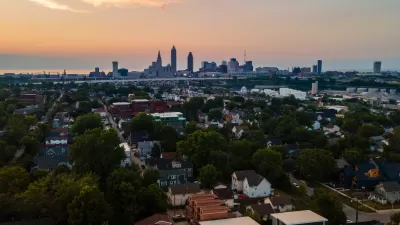
The index producesCleveland-Elyria, OH as the most segregated city in the United States, with"more than 55% of its population living in homogeneous zip codes." Moreover, "[o]f the roughly 100 zip codes in the area, 63 are predominantly white and are home to nearly 70% of Cleveland’s white population. The metro area’s black population is similarly segregated, with 30.9% concentrated in just six zip codes."Detroit-Warren-Dearborn, MI took the second spot on the list.
FULL STORY: America’s Most Segregated Cities
Cleveland Planning Commission Approves New Form-Based Code
If passed by the city council, the new form-based code will be piloted in four neighborhoods.

Parking Requirements Removed Near Cleveland Transit Stops
Transit oriented parking reform has arrived in Cleveland.

Bike Cleveland Recommends Avoiding New Bike Lane, Citing Safety Concerns
A new bike lane is drawing criticism for putting cyclists at risk.

Pennsylvania Mall Conversion Bill Passes House
If passed, the bill would promote the adaptive reuse of defunct commercial buildings.

World's Largest Wildlife Overpass In the Works in Los Angeles County
Caltrans will soon close half of the 101 Freeway in order to continue construction of the Wallis Annenberg Wildlife Crossing near Agoura Hills in Los Angeles County.

U.S. Supreme Court: California's Impact Fees May Violate Takings Clause
A California property owner took El Dorado County to state court after paying a traffic impact fee he felt was exorbitant. He lost in trial court, appellate court, and the California Supreme Court denied review. Then the U.S. Supreme Court acted.

Minneapolis as a Model for Housing Affordability
Through a combination of policies, the city has managed to limit the severity of the nationwide housing crisis.

Indy Bikeshare System Turns 10, Expands to E-Bikes
Pacers Bikeshare riders logged over 700,000 rides since the system launched in 2014.

Coming Soon to Ohio: The Largest Agrivoltaic Farm in the US
The ambitious 6,000-acre project will combine an 800-watt solar farm with crop and livestock production.
City of Costa Mesa
Licking County
Barrett Planning Group LLC
HUD's Office of Policy Development and Research
Mpact Transit + Community
HUD's Office of Policy Development and Research
Tufts University, Department of Urban and Environmental Policy & Planning
City of Universal City TX
ULI Northwest Arkansas
Urban Design for Planners 1: Software Tools
This six-course series explores essential urban design concepts using open source software and equips planners with the tools they need to participate fully in the urban design process.
Planning for Universal Design
Learn the tools for implementing Universal Design in planning regulations.