


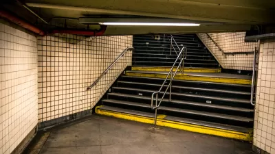
An interactive map featuring a combination of ESRI's Story Maps, Yelp, and TripAdvisor posts shows ten popular subway systems as rated by transit riders.

Max Knoblauch combines ESRI's Story Maps with Yelp and TripAdvisor reviews to create an interactive map of ten subways systems. The map shows the cost per ride and quotes reviews of the pros and cons of the transit system. Among Knoblauch's conclusions: "traveling communities cannot agree whether certain subways are the saving grace or utter downfall of their host city. The reviews serve as a reminder that everything has its ups and downs."
The ten subways systems rated worldwide include New York City's Subway, San Francisco's BART, and Stockholm's Tunnelbana, to name a few, with critics complaining about "rats the size of small dogs" or fans raving about "beautiful works of art."
FULL STORY: What the Internet Thinks of the World's Subways
N.Y.C. Initiative Seeks to Connect Homeless on Transit with Social Services
The city is expanding outreach to homeless people in order to move them off the subway and steer them toward housing and social services.
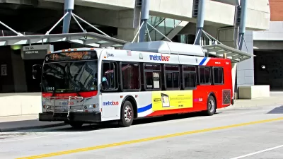
D.C.-Area Residents Want Bus Lanes and Free Transfers, Survey Shows
New survey findings identify transit priorities among residents in D.C. and surrounding areas, and indicate broad support for public investments.
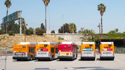
When a Planner Commutes by Bus: Score Card
Commitment gets tested when a dedicated urbanist, transit rider, and L.A. County planner is relocate to a suburban office. Clement Lau shares his thoughts about the good and the bad of riding an L.A. Metro bus.

Depopulation Patterns Get Weird
A recent ranking of “declining” cities heavily features some of the most expensive cities in the country — including New York City and a half-dozen in the San Francisco Bay Area.

California Exodus: Population Drops Below 39 Million
Never mind the 40 million that demographers predicted the Golden State would reach by 2018. The state's population dipped below 39 million to 38.965 million last July, according to Census data released in March, the lowest since 2015.

Chicago to Turn High-Rise Offices into Housing
Four commercial buildings in the Chicago Loop have been approved for redevelopment into housing in a bid to revitalize the city’s downtown post-pandemic.

Median Home Prices Top $1 Million in Over 200 California Towns
Towns once known for their affordability are seeing sharply rising home prices.

LA County Receives Reconnecting Communities Grants
Seven grant awards totaling $162 million will be used for planning, capital projects, and regional partnerships to reduce environmental harm and improve access in disadvantaged communities.

Seine Pollution Could Hinder Olympic Swim Events
Events like the triathlon could be impacted if tests continue to reveal high levels of dangerous bacteria in Paris’ famous river.
Licking County
Barrett Planning Group LLC
City of Cleburne
HUD's Office of Policy Development and Research
Mpact Transit + Community
HUD's Office of Policy Development and Research
City of Universal City TX
ULI Northwest Arkansas
City of Laramie, Wyoming
Urban Design for Planners 1: Software Tools
This six-course series explores essential urban design concepts using open source software and equips planners with the tools they need to participate fully in the urban design process.
Planning for Universal Design
Learn the tools for implementing Universal Design in planning regulations.