


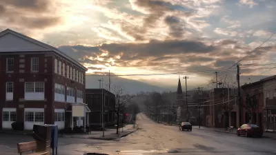
The USDA's new Food Access Research Atlas provides a handy guide for assisting policymakers and planners in finding the urban and rural areas with the most formidable obstacles to accessing fresh healthy food, reports Nancy Shute.
"The atlas, which is a big upgrade from the USDA's 2-year-old Food Desert Locator, is intended as a tool for state policymakers, local planners and nonprofit groups concerned about food access," says Shute.
"'People can get a more detailed picture of exactly what challenges they encounter in getting to the grocery store,' says Paula Dutko, an economist for the USDA Economic Research Service who helped craft the atlas."
"Food deserts have been a hot target of healthy-eating efforts, including Michelle Obama's Let's Move campaign," adds Shute. "But as programs zero in on improving access, they're finding that bringing in farmers markets and grocery stores doesn't necessarily mean that people start eating better."
"So as our colleague Dan Charles has reported, efforts are now also working on lowering costs, consumer education and marketing."
FULL STORY: How To Find A Food Desert Near You
Food Deserts Exaggerated
The "food deserts" problem is receiving heightened attention following the release of the USDA's locator map. But this analysis relies on the suspect premise that suburban supermarkets are superior to small, walkable urban foodsellers.
Rural Affordable Housing in Crisis
Rural U.S. communities are poised to lose hundreds of thousands of affordable housing units as federally backed mortgages mature.

How Urban Design Impacts Public Health
With more and more people living in cities, designing equitably healthy urban spaces becomes a key question for policymakers.

Pennsylvania Mall Conversion Bill Passes House
If passed, the bill would promote the adaptive reuse of defunct commercial buildings.

Coming Soon to Ohio: The Largest Agrivoltaic Farm in the US
The ambitious 6,000-acre project will combine an 800-watt solar farm with crop and livestock production.

World's Largest Wildlife Overpass In the Works in Los Angeles County
Caltrans will soon close half of the 101 Freeway in order to continue construction of the Wallis Annenberg Wildlife Crossing near Agoura Hills in Los Angeles County.

California Grid Runs on 100% Renewable Energy for Over 9 Hours
The state’s energy grid was entirely powered by clean energy for some portion of the day on 37 out of the last 45 days.

New Forecasting Tool Aims to Reduce Heat-Related Deaths
Two federal agencies launched a new, easy-to-use, color-coded heat warning system that combines meteorological and medical risk factors.

AI Traffic Management Comes to Dallas-Fort Worth
Several Texas cities are using an AI-powered platform called NoTraffic to help manage traffic signals to increase safety and improve traffic flow.
City of Costa Mesa
Licking County
Barrett Planning Group LLC
HUD's Office of Policy Development and Research
Mpact Transit + Community
HUD's Office of Policy Development and Research
Tufts University, Department of Urban and Environmental Policy & Planning
City of Universal City TX
ULI Northwest Arkansas
Urban Design for Planners 1: Software Tools
This six-course series explores essential urban design concepts using open source software and equips planners with the tools they need to participate fully in the urban design process.
Planning for Universal Design
Learn the tools for implementing Universal Design in planning regulations.