Writing for Yahoo! Travel, Aefa Mulholland identifies five of the most dangerous roads in the world - from India's chaotic city streets to Bolivia's mountain hugging back roads.
Dangerous roads are not just limited to the developing world, where you can find Bolivia's cliff-clinging "Road of Death" and South Africa's carjacking plagued roadways. Plenty of hazardous highways can be found right here in the United States.
Take Mississippi, the state with the highest traffic fatality rate. According to Mulholland, "Unlit rural roads, high speeds, and lack of seatbelt usage are prime
culprits. More than half of those who died on Mississippi's roads in
2010 were not wearing a seatbelt and, according to a Reader's Digest
study, Mississippi was one of the deadliest states due to speeding. It
is also one of 11 states where texting while driving is not against the
law (though it is illegal if you are driving with a learning permit or
temporary license)."
Mississippi isn't the only state with its share of road hazards. In Pennsylvania, it's not the speeding drivers one has to look out for, but dashing deer. "Every year," notes Mulholland, "there are about 1 million collisions with deer on U.S.
roads, more than 100,000 of them in Pennsylvania, where the odds of
hitting a deer are one in 86. The deadliest month for deer collisions is
November, when male deer have fighting and mating on their minds."
FULL STORY: 5 of the world's most dangerous roads

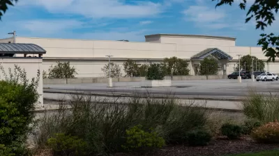
Pennsylvania Mall Conversion Bill Passes House
If passed, the bill would promote the adaptive reuse of defunct commercial buildings.

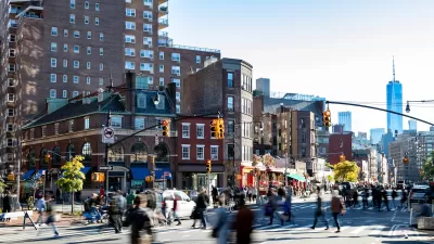
Planning for Accessibility: Proximity is More Important than Mobility
Accessibility-based planning minimizes the distance that people must travel to reach desired services and activities. Measured this way, increased density can provide more total benefits than increased speeds.

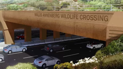
World's Largest Wildlife Overpass In the Works in Los Angeles County
Caltrans will soon close half of the 101 Freeway in order to continue construction of the Wallis Annenberg Wildlife Crossing near Agoura Hills in Los Angeles County.

New York Passes Housing Package Focused on New Development and Adaptive Reuse
The FY 2025 budget includes a new tax incentive, funding for affordable housing on state land, and support for adaptive reuse and ADUs.

LA Metro Board Approves New 710 Freeway Plan
The newest plan for the 710 corridor claims it will not displace any residents.

Austin’s Proposed EV Charging Rules Regulate Station Locations, Size
City planners say the new rules would ensure an efficient distribution of charging infrastructure across the city and prevent an overconcentration in residential areas.
City of Costa Mesa
Licking County
Barrett Planning Group LLC
HUD's Office of Policy Development and Research
Mpact Transit + Community
HUD's Office of Policy Development and Research
Tufts University, Department of Urban and Environmental Policy & Planning
City of Universal City TX
ULI Northwest Arkansas
Urban Design for Planners 1: Software Tools
This six-course series explores essential urban design concepts using open source software and equips planners with the tools they need to participate fully in the urban design process.
Planning for Universal Design
Learn the tools for implementing Universal Design in planning regulations.


