


Two planners with the United Nations Office for the Coordination of Humanitarian Affairs (OCHA) reveal how they use GIS to coordinate their efforts, using the recent tsunami and earthquake in Japan as an example.
Craig Williams and John Marinos, who work in the U.N.'s regional OCHA office for Asia and the Pacific, explain that "[m]anaging information during a humanitarian emergency is a crucial part of any operation." They use a variety of international data sets to help predict risk:
"OCHA adds value by displaying these data in conjunction with other operational information or information about particularly vulnerable groups (i.e. refugees or internally displaced persons), in a way that is useful for humanitarian workers and decision makers. OCHA offices at the country level often do similar types of vulnerability mapping but use data more specific to that particular country. This vulnerability mapping often forms the basis for the 'worst case' and "most likely" scenarios used in contingency planning."
FULL STORY: GIS Enables the Humanitarian Response: A Perspective from the United Nations
New Book Highlights How GIS Improves Outcomes
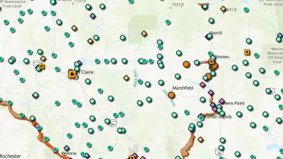
Esri Press recently published a digital book called Mapping the Nation which demonstrates how a geographic approach guides important decisions and addresses challenges around the globe.

Harnessing Data for Community Development
Using data and insights encourages the development of a community, offering an evidence-based strategy to directly address the needs within.

Using GIS to Advance Park Equity and Prioritize Restoration of Degraded Lands
The Los Angeles County Department of Parks and Recreation uses GIS technology to identify priority areas for land conservation and restoration as part of its 30x30 plan to fight climate change and protect biodiversity.

Pennsylvania Mall Conversion Bill Passes House
If passed, the bill would promote the adaptive reuse of defunct commercial buildings.

Planning for Accessibility: Proximity is More Important than Mobility
Accessibility-based planning minimizes the distance that people must travel to reach desired services and activities. Measured this way, increased density can provide more total benefits than increased speeds.

World's Largest Wildlife Overpass In the Works in Los Angeles County
Caltrans will soon close half of the 101 Freeway in order to continue construction of the Wallis Annenberg Wildlife Crossing near Agoura Hills in Los Angeles County.

Eviction Looms for Low-Income Tenants as Rent Debt Rises
Nonprofit housing operators across the country face almost $10 billion in rent debt.

Brightline West Breaks Ground
The high-speed rail line will link Las Vegas and the Los Angeles area.

Colorado Bans No-Fault Evictions
In most cases, landlords must provide a just cause for evicting tenants.
City of Costa Mesa
Licking County
Barrett Planning Group LLC
HUD's Office of Policy Development and Research
Mpact Transit + Community
HUD's Office of Policy Development and Research
Tufts University, Department of Urban and Environmental Policy & Planning
City of Universal City TX
ULI Northwest Arkansas
Urban Design for Planners 1: Software Tools
This six-course series explores essential urban design concepts using open source software and equips planners with the tools they need to participate fully in the urban design process.
Planning for Universal Design
Learn the tools for implementing Universal Design in planning regulations.