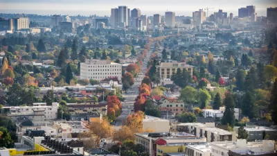
The original layout of New York's street grid took advantage of the natural elements like light, wind and good soil to effectively encourage greenery in the city. Alec Applebaum says the city could do well to hearken back to the original plans.
Applebaum explains how the street grid takes advantage of the elements:
"The early 19th-century planners who created the grid knew how to make the most of these attributes. They laid out the grid so that the sun sets precisely in line with east-west streets several times a year. The short north-south blocks mean more streets lead to the rivers, allowing floodwaters to recede easily and drawing people to the waterfront. The plan guided raucous commerce along the route of an old canal and enticed future developers with the promise of sites on hills with enviable views north."
Later generations of city engineers and planners failed to capitalize on the effectiveness of these early plans, and actively fought against them, says Appelbaum.
FULL STORY: New York's Green Grid

Depopulation Patterns Get Weird
A recent ranking of “declining” cities heavily features some of the most expensive cities in the country — including New York City and a half-dozen in the San Francisco Bay Area.

California Exodus: Population Drops Below 39 Million
Never mind the 40 million that demographers predicted the Golden State would reach by 2018. The state's population dipped below 39 million to 38.965 million last July, according to Census data released in March, the lowest since 2015.

Chicago to Turn High-Rise Offices into Housing
Four commercial buildings in the Chicago Loop have been approved for redevelopment into housing in a bid to revitalize the city’s downtown post-pandemic.

New Park Opens in the Santa Clarita Valley
The City of Santa Clarita just celebrated the grand opening of its 38th park, the 10.5-acre Skyline Ranch Park.

U.S. Supreme Court: California's Impact Fees May Violate Takings Clause
A California property owner took El Dorado County to state court after paying a traffic impact fee he felt was exorbitant. He lost in trial court, appellate court, and the California Supreme Court denied review. Then the U.S. Supreme Court acted.

How Urban Form Impacts Housing Affordability
The way we design cities affects housing costs differently than you might think.
City of Costa Mesa
Licking County
Barrett Planning Group LLC
HUD's Office of Policy Development and Research
Mpact Transit + Community
HUD's Office of Policy Development and Research
City of Universal City TX
ULI Northwest Arkansas
Town of Zionsville
Urban Design for Planners 1: Software Tools
This six-course series explores essential urban design concepts using open source software and equips planners with the tools they need to participate fully in the urban design process.
Planning for Universal Design
Learn the tools for implementing Universal Design in planning regulations.


