


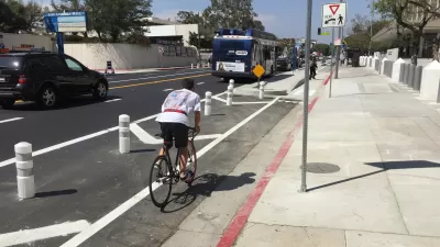
At the Automated Traffic Surveillance and Control center (ATSAC) near City Hall in Los Angeles, a team of engineers watches traffic flow all over the city, sucking in tons of data to improve transit and automotive circulation.
Ryan Bradley of GOOD pays a visit to ATSAC, which he says resembles the command centers one sees in movies and TV.
He writes, "ATSAC was created for two reasons. First, to adjust traffic signals in real time to respond to events that may cause congestion, like a car accident or a Lakers championship. Before ATSAC, the Department of Transportation had to send someone out into the field to adjust traffic signals. Now, these adjustments can be made throughout the city from this underground bunker next to City Hall, by those men watching those 16 screens, as thousands of cameras trained on thousands of intersections record the goings-on on the streets above."
The second goal of ATSAC, as Bradley points out, is to collect reams of data that can then be used to understand how traffic flows and where it can be improved.
Here's the the official page of ATSAC.
FULL STORY: Mark it good Walking in L.A.: The Data Driven City

Congestion Pricing Could Be Coming to L.A.
The infamously car-centric city is weighing a proposed congestion pricing pilot program to reduce traffic and encourage public transit use.
Opinion: Los Angeles Must Prioritize Bikes and Buses
L.A. has a plan for improving mobility. Why are city leaders ignoring it?
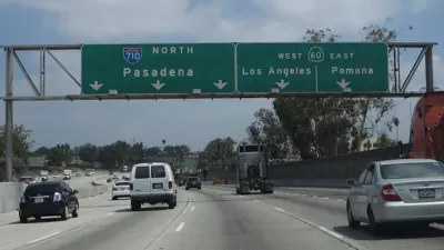
With a 710 Freeway Extension Unlikely, Cities Propose Alternatives
After withdrawing support for a controversial extension of the 710 Freeway, Los Angeles Metro is asking cities for local road improvements to improve traffic flow in its stead.

Pennsylvania Mall Conversion Bill Passes House
If passed, the bill would promote the adaptive reuse of defunct commercial buildings.

Planning for Accessibility: Proximity is More Important than Mobility
Accessibility-based planning minimizes the distance that people must travel to reach desired services and activities. Measured this way, increased density can provide more total benefits than increased speeds.

World's Largest Wildlife Overpass In the Works in Los Angeles County
Caltrans will soon close half of the 101 Freeway in order to continue construction of the Wallis Annenberg Wildlife Crossing near Agoura Hills in Los Angeles County.

Eviction Looms for Low-Income Tenants as Rent Debt Rises
Nonprofit housing operators across the country face almost $10 billion in rent debt.

Brightline West Breaks Ground
The high-speed rail line will link Las Vegas and the Los Angeles area.

Colorado Bans No-Fault Evictions
In most cases, landlords must provide a just cause for evicting tenants.
City of Costa Mesa
Licking County
Barrett Planning Group LLC
HUD's Office of Policy Development and Research
Mpact Transit + Community
HUD's Office of Policy Development and Research
Tufts University, Department of Urban and Environmental Policy & Planning
City of Universal City TX
ULI Northwest Arkansas
Urban Design for Planners 1: Software Tools
This six-course series explores essential urban design concepts using open source software and equips planners with the tools they need to participate fully in the urban design process.
Planning for Universal Design
Learn the tools for implementing Universal Design in planning regulations.