


A recent conference hosted by the Lincoln Institute of Land Policy focused on how planners around the world are designing urban areas that respond to the impacts of climate change.
"The plans for the 2008 Beijing Olympics are notable for their extra security amid human-rights protests. But the 2012 London Olympics' park plans are notable in that they consider a climate-changed future, in which flooding may worsen and cities must minimize carbon emissions.
London's summer-games site straddles the polluted Lea River on the east end of the city, now a moribund industrial area dotted with depressed neighborhoods. The planners looked at climate models and recognized that the area, known as the Lower Lea Valley, would likely be carrying higher flood waters from intensifying rainstorms.
Jason Prior, European regional president for the planning firm EDAW, explained one consequence of this finding at a conference on Friday: the planners ran hydrological models to determine how to widen the river and design new bridges to accommodate the higher flows. "You survey the river systems, then project forward the impact of different flow conditions, and you add the amounts the climate models are giving you," Prior said after a forum on climate change and cities at the Lincoln Institute of Land Policy, in Cambridge, MA. "You then fine-tune the channel's cross sections, change design of bridge abutments, and design wetlands to catch the extra amounts." Site work has already begun."
FULL STORY: How to Plan for Climate Change

Did the Pandemic Spur Radical Urban Change?
The Covid era highlighted social inequities and prompted new paradigms for urbanism and mobility. Will they stick around?
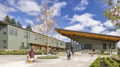
Vernacular Architecture in the Era of Climate Change
We no longer have time for design that ignores the climate crisis. Building and community design must respond to this new context to successfully meet people’s needs.

Unequal Distribution of Shade Is Environmental Injustice
A longread, written by Sam Boch and published by Places Journal, has been creating a stir online and is highly recommended for those with an interest in intersections between social justice and urban design.

Pennsylvania Mall Conversion Bill Passes House
If passed, the bill would promote the adaptive reuse of defunct commercial buildings.

Planning for Accessibility: Proximity is More Important than Mobility
Accessibility-based planning minimizes the distance that people must travel to reach desired services and activities. Measured this way, increased density can provide more total benefits than increased speeds.
Fair Housing Cannot Take a Back Seat to ‘Build, Baby, Build’
If we overlook fair housing principles in the plan to build US housing back better, we risk ending up right back where we started.

LA Metro Board Approves New 710 Freeway Plan
The newest plan for the 710 corridor claims it will not displace any residents.

Austin’s Proposed EV Charging Rules Regulate Station Locations, Size
City planners say the new rules would ensure an efficient distribution of charging infrastructure across the city and prevent an overconcentration in residential areas.

Making California State Parks More Climate-Resilient
A recently released report offers recommendations for keeping state parks healthy and robust, including acquiring additional land for conservation and recreation.
City of Costa Mesa
Licking County
Barrett Planning Group LLC
HUD's Office of Policy Development and Research
Mpact Transit + Community
HUD's Office of Policy Development and Research
Tufts University, Department of Urban and Environmental Policy & Planning
City of Universal City TX
ULI Northwest Arkansas
Urban Design for Planners 1: Software Tools
This six-course series explores essential urban design concepts using open source software and equips planners with the tools they need to participate fully in the urban design process.
Planning for Universal Design
Learn the tools for implementing Universal Design in planning regulations.