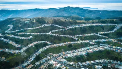
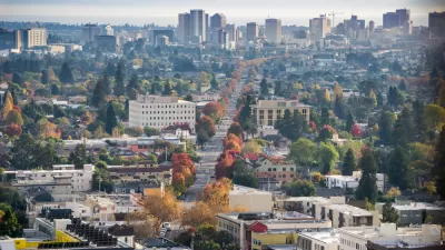
Now 50 years old, BART looks to the future with a 50-year plan for vast system improvements and expansions throughout the Bay Area including a new transbay tube between Oakland and San Francisco, and an East Bay station in downtown Martinez.
"It was 50 years ago this month that the Legislature formed the Bay Area Rapid Transit District. BART officials figure now is a good time to plot a big-picture vision for the next 50. That effort coincides with a regional rail plan being prepared by a variety of Bay Area transportation agencies."
"At a meeting in Oakland on Thursday, transportation experts discussed their ideas for what BART should become by the time it hits its centennial."
"The shape suggested Thursday seems to be compact and focused on the core BART system instead of dependent on far-reaching extensions. Along with building the planned extensions to Warm Springs and San Jose, an Oakland airport connection and a light-rail link known as eBART in eastern Contra Costa County, BART's plans call for the system to boost its capacity in the central part of its system -- in San Francisco and the East Bay."
"The BART of the future also should offer express trains from destinations such as Concord and Walnut Creek that would skip some stations en route to San Francisco, cutting several minutes from the trip. To offer that service, BART would need to install additional stretches of track that would allow trains to pass each other."
"But the biggest -- and costliest -- improvement would be the addition of a second Transbay Tube. By 2030, the current tube will be at capacity, unable to handle additional trains, said Tom Matoff, a transportation planner working on the regional rail plan."
"The I-680 line would start at the future Warm Springs Station, connect with the Dublin/Pleasanton and Walnut Creek stations, and end in downtown Martinez, where it would meet the Capitol Corridor, San Joaquin and long-distance Amtrak trains."
FULL STORY: BART'S NEW VISION: MORE, BIGGER, FASTER

Depopulation Patterns Get Weird
A recent ranking of “declining” cities heavily features some of the most expensive cities in the country — including New York City and a half-dozen in the San Francisco Bay Area.

California Exodus: Population Drops Below 39 Million
Never mind the 40 million that demographers predicted the Golden State would reach by 2018. The state's population dipped below 39 million to 38.965 million last July, according to Census data released in March, the lowest since 2015.

Chicago to Turn High-Rise Offices into Housing
Four commercial buildings in the Chicago Loop have been approved for redevelopment into housing in a bid to revitalize the city’s downtown post-pandemic.

New Park Opens in the Santa Clarita Valley
The City of Santa Clarita just celebrated the grand opening of its 38th park, the 10.5-acre Skyline Ranch Park.

U.S. Supreme Court: California's Impact Fees May Violate Takings Clause
A California property owner took El Dorado County to state court after paying a traffic impact fee he felt was exorbitant. He lost in trial court, appellate court, and the California Supreme Court denied review. Then the U.S. Supreme Court acted.

How Urban Form Impacts Housing Affordability
The way we design cities affects housing costs differently than you might think.
City of Costa Mesa
Licking County
Barrett Planning Group LLC
HUD's Office of Policy Development and Research
Mpact Transit + Community
HUD's Office of Policy Development and Research
City of Universal City TX
ULI Northwest Arkansas
Town of Zionsville
Urban Design for Planners 1: Software Tools
This six-course series explores essential urban design concepts using open source software and equips planners with the tools they need to participate fully in the urban design process.
Planning for Universal Design
Learn the tools for implementing Universal Design in planning regulations.


